Lythe is a small village and large civil parish, in the Scarborough district of North Yorkshire, England, situated near Whitby within the North York Moors National
Park. The name of the village derives from Old Norse and means hill or slope.
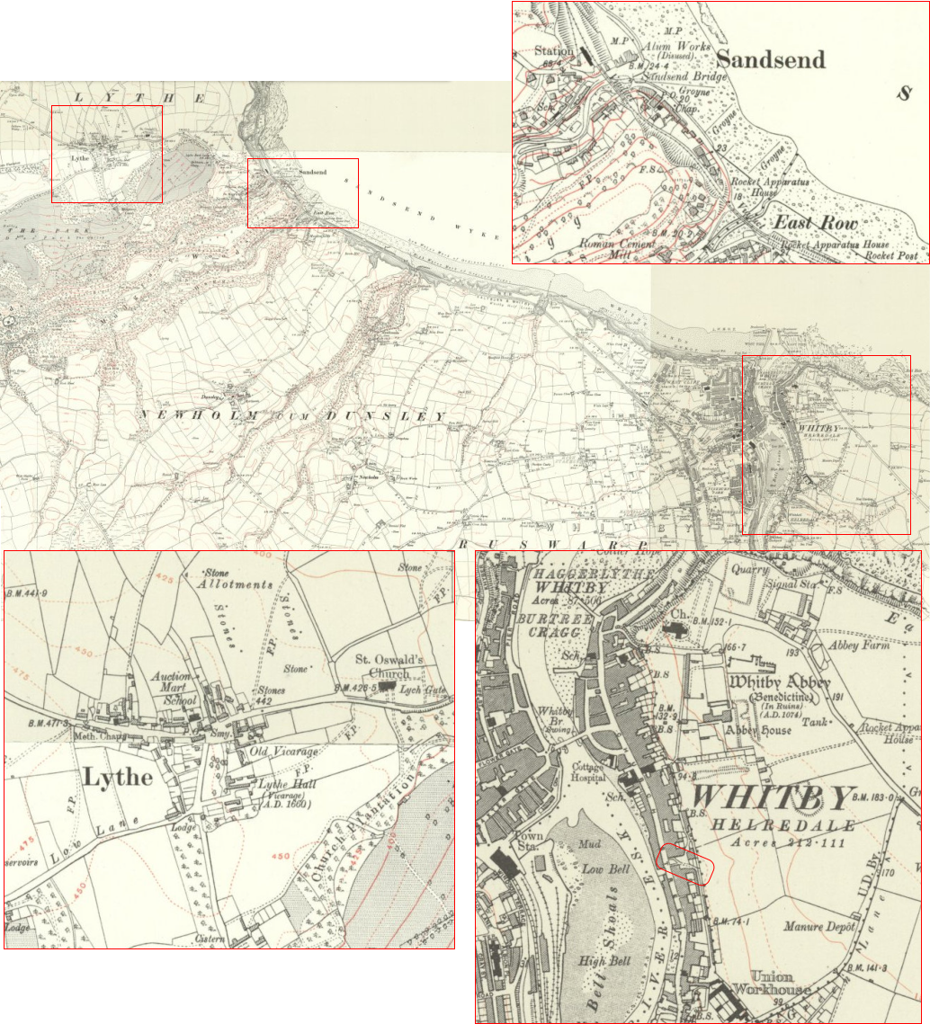
Sandsend is a small fishing village, near to Whitby in the Scarborough district of North Yorkshire, England. It forms part of the civil parish of Lythe.
Sandsend and the neighbouring village of East Row began as separate villages, but were joined when extra cottages were built for workers in the alum industry.
Sandsend was also buoyed by tourism from the Whitby, Redcar and Middlesbrough Union Railway, which ran through the village from 1855 to 1958. The local
station was Sandsend railway station, which opened in 1883 and was closed in 1958.
Church Street in Whitby runs along the east side of the River Esk. Originally called Kirkgate in 1318 (Kirk was another name for Church), the street only extended
from the bottom of Church Stairs (now the 199 steps) to corner of Market Place. From Market Place to Bridge St it was called Highgate, and then it was called
Crossgates to the end of Grape Lane. Then to Boulby Bank it was called Southgate. Boulby Bank is indicated on the bottom right map. It was on the east bank of
the River Esk and led eastwards up the hill from Boulby Slip to the Ropery.